World
• Analysis
El Nino Forecast December Peak as UN Warns of Intensification
The United Nations warned on Thursday that the El Nino forecast points to a December peak, with above-average temperatures spreading across much of the globe. The World Meteorological Organization said this event could be among the strongest since at least 1950.
By Haut Monde Post
• October 8, 2026
• 3 Min Read
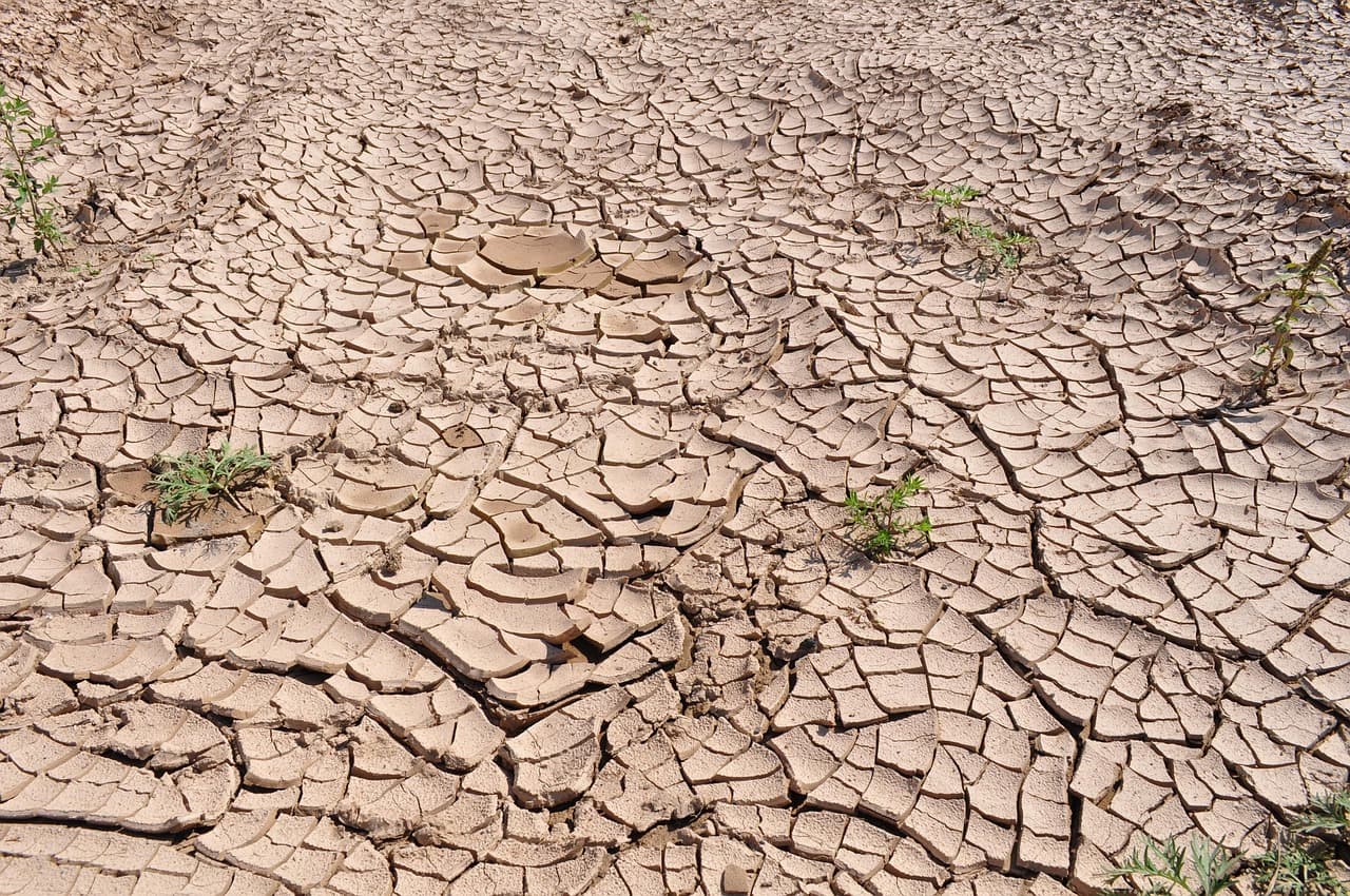
Record temperatures forecast in the Pacific
The World Meteorological Organization expects sea-surface temperatures in the central and eastern tropical Pacific to climb to record levels during October-November-December 2026, with consequences flagged for economies, ecosystems and communities. Its monthly Global Seasonal Climate Update also cautioned that El Nino is likely to bring above-average temperatures to much of the globe and shift rainfall patterns, raising the risks of both drought and flooding.
The numbers behind the warning show how fast the event has grown:
- •The sea surface temperature anomaly in the central-eastern equatorial Pacific rose from 1.6C above normal in June to 2.5C above normal in August.
- •For October-November-December 2026, the anomaly is forecast to reach about 3.7C above normal, the highest since observations began.
- •That would eclipse the previous record anomaly of 2.6C set in 2015-2016.
The forecast rests on consensus across 13 leading national and international meteorological centres.
WMO chief: firmly established and strengthening
WMO chief Celeste Saulo gave a blunt assessment of the event's trajectory. "El Nino is firmly established and strengthening rapidly," she said.
According to Saulo, WMO forecasts indicate a near-100 percent likelihood that El Nino will persist through February 2027. She also explained the mechanism behind the warming: El Nino does not add new heat to the planet, but releases heat stored in the ocean - and, she noted, the ocean it is drawing from is the warmest ever measured.
What El Nino does and how often
El Nino warms surface temperatures in the central and eastern equatorial Pacific Ocean, which in turn changes winds, pressure and rainfall patterns worldwide. The phenomenon typically takes place every two to seven years and lasts around nine to 12 months, oscillating with La Nina and neutral conditions.
Timing matters for anyone tracking the consequences. While El Nino usually peaks between November and February, the resulting spike in temperatures typically comes later.
Impacts already felt and the wider backdrop
The current event is not waiting for its peak to bite. It is already hitting Central America hard, where animals and crops are dying from drought.
The previous El Nino left its mark on global temperature records: it contributed to 2023 becoming the second-hottest year on record, and to 2024 becoming the hottest, at around 1.55C above the 1850-1900 pre-industrial average.
The WMO's warning on Thursday, that El Nino will intensify even more before its December peak, frames the months ahead against that backdrop of man-made climate change already compounding the pattern.